Wimmera Shire
Wimmera Shire was one of fifteen municipalities which comprised the statistical Wimmera region until 20 January 1995, when they were amalgamated into six larger units. The original Wimmera shire, however, occupied most of the western Wimmera and a large part of the south-western Mallee when it was proclaimed on 4 March 1864. Its area was 26,260 sq km.
Between 1875 and 1888, as Wimmera farm selections were taken up and railway lines were extended north and west of Horsham, the newly occupied lands were constituted as shires and severed from Wimmera shire. Some shires were further subdivided and new shires created from them.
They comprised Kowree (Edenhope district, 1872), Lowan (Nhill district, 1875), Dunmunkle (Murtoa district, 1877), Dimboola (1885), Arapiles (1888) and Lawloit (Kaniva district, 1891). At the end of that process Wimmera shire was reduced to 2860 sq km, and its main towns were Dooen, Jung, Pimpinio and Vectis. The shire offices were in Horsham, which had been made a separate borough in 1882.
The shire’s farm areas participated in the general improvement of water supply services, beginning with the shire’s own water trust in 1886. From weirs on local streams, the water supply was strengthened with the construction of the Wartook storage (1887) at the headwaters of the McKenzie River in the Grampians. It was the first of several Grampians reservoirs which supply the Wimmera-Mallee domestic and stock water supply system.
Wimmera shire extended from the Grampians to near Warracknabeal, with the McKenzie River joining the Wimmera River at Horsham as its western boundary. The Yarriambiack Creek, flowing out of the Wimmera River, was its eastern boundary. (Both water courses flow northwards into Mallee lakes). The shire’s main transport corridors were the Western and Henty Highways and the railway to Adelaide.
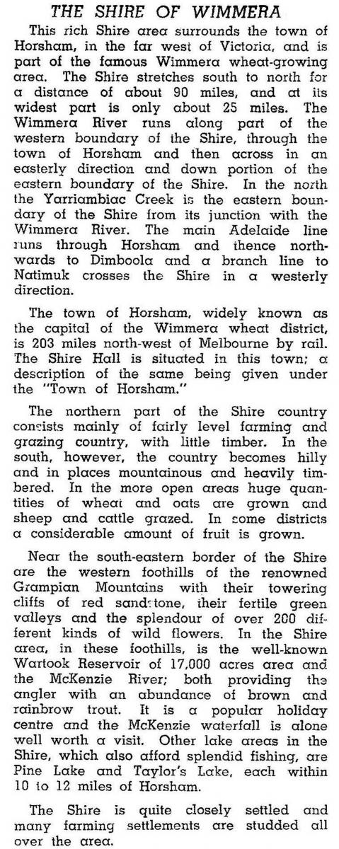
In 1946 Wimmera shire was described in the Australian blue book:

(Most of the fruit growing was at Quantong, which later converted most orchards to dairying and pastoral uses).
In 1994 after a few boundary changes early in the century, the shire’s area was 2611 sq km. Farming was carried on in 69% of that area, in which 230,000 sheep and lambs were carried, and 92,045 tonnes of wheat and 53,822 tonnes of barley were harvested.
Wimmera shire was united with Horsham city, Arapiles shire and part of Kowree shire on 20 January 1995, to form Horsham Rural City.
Wimmera shire’s census populations were:
| census date | population |
|---|---|
| 1901 | 3758 |
| 1911 | 3887 |
| 1921 | 4156 |
| 1933 | 4304 |
| 1947 | 3472 |
| 1961 | 3535 |
| 1966 | 3485 |
| 1971 | 3046 |
| 1976 | 2873 |
| 1986 | 2911 |
| 1991 | 2930 |
Further Reading
L.J. Blake and K.H. Lovett, Wimmera Shire centenary, the Shire, 1962
John Reid et al, Road board to restructure: the history of the Shire of Wimmera 1862-1995, Bacchus March, 1996
Dooen, Haven, Horsham, Jung, Kalkee, Longerenong, Pimpinio, Quantong, Vectis and Wonwondah entries


