Botanical Gardens and Government House, Melbourne, 1911

Botanical Gardens and Government House, Melbourne, 1911
Publisher:
Contributor:
Genre:

Melbourne’s central city area has traditionally been defined as the 'Golden Mile', which is the checker-board survey by the government surveyor, Robert Hoddle, who in 1837 fixed a township of six blocks by four blocks. The boundaries were Spencer, La Trobe, Spring and Flinders Streets.
Botanical Gardens and Government House, Melbourne, 1911
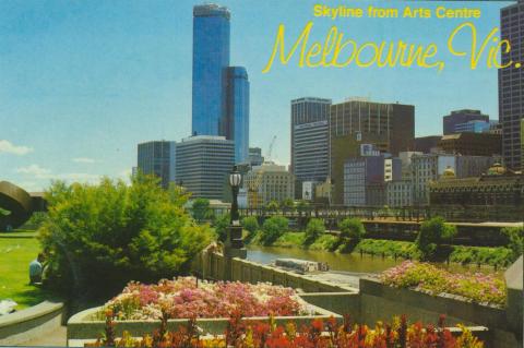
The Yarra River and City Skyline from the Melbourne Arts Centre

The Conservatory, Fitzroy Gardens, Melbourne, 1942
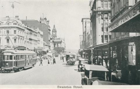
Swanston Street, Melbourne
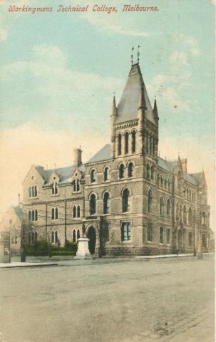
Workingman's College, Latrobe Street, Melbourne, 1910
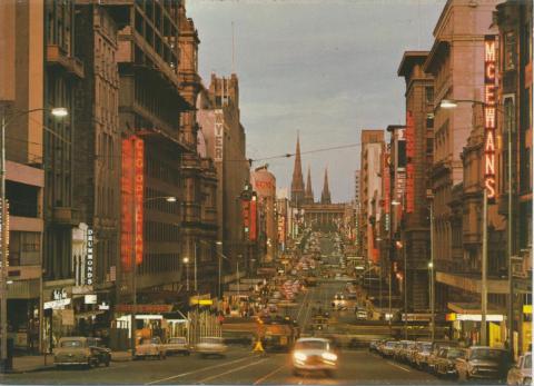
Bourke Street at twilight, Melbourne
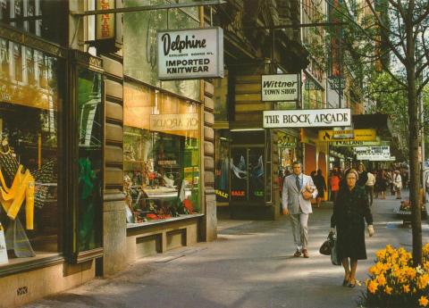
Collins Street, Melbourne
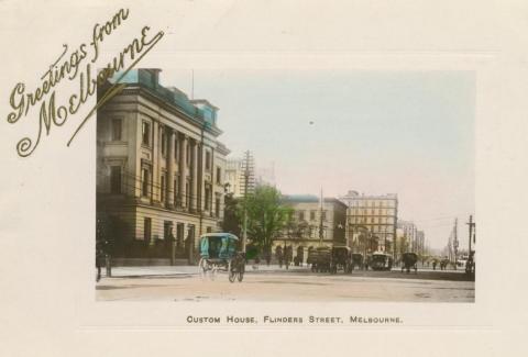
Custom House, Flinders Street, Melbourne, 1908
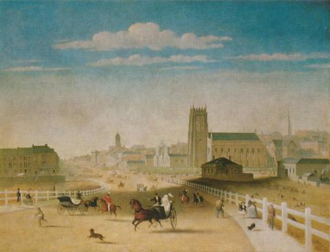
Swanston Street from Prince's Bridge, 1861
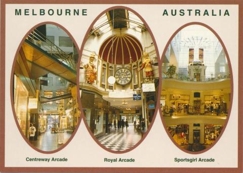
Arcades, Melbourne

Copyright © Victorian Places, 2015. All rights reserved.