Kiewa hydro-electric scheme, 1939
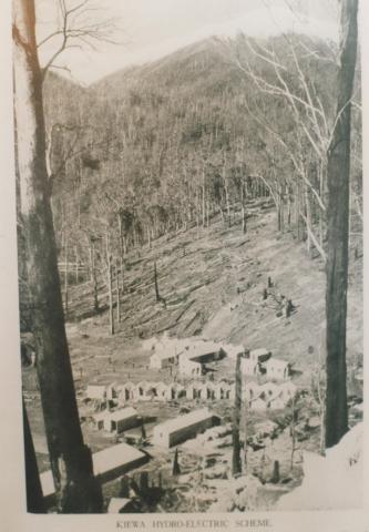
Kiewa hydro-electric scheme, 1939
Contributor:
Genre:

Kiewa is a small rural township in north-east Victoria, a short distance east of the Kiewa Valley Highway and 20 km south-east of Wodonga. Its name is shared with the Kiewa River, and it is thought that the name was derived from an Aboriginal word meaning sweet water.
Kiewa hydro-electric scheme, 1939
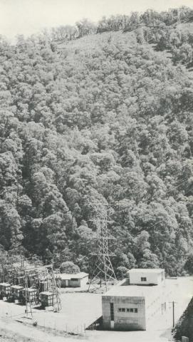
Control room and switch yard for the West Kiewa power station, 1971

The Old General Store, Kiewa, 2006
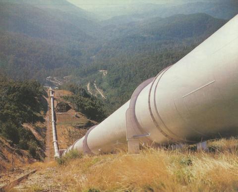
Large pipeline that serves McKay Creek power station, Kiewa, 1971
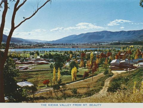
The Kiewa Valley from Mt Beauty

Copyright © Victorian Places, 2015. All rights reserved.