
Swan Hill Shire and Rural City
Swan Hill shire, the successor to the Swan Hill Road District, was at first an area which extended eastwards from the South Australian border to Cohuna. Its northern border was the Murray River and its southern border was stepped, touching the Wimmera, Lalbert and Charlton. It had an area of 27,200 sq km.
Shire severances
As closer settlement and irrigation schemes reached the Mallee region in the 1880s, Swan Hill shire was subdivided. Gordon shire was severed in 1885 and Mildura shire in 1890. The remainder of Swan Hill shire was then divided in two in 1893: the northern sector, which included Swan Hill township, was named Castle Donnington shire; and the southern sector, which included Kerang township which had been the administrative centre of Swan Hill shire since its formation, kept the shire’s named. Swan Hill township was not in Swan Hill shire. The confusion was rectified on 30 May 1904, when the town and shire name were united, after ‘Castle Donnington’ had been discarded, and the shire containing Kerang township had been named Kerang shire. A series of boundary changes occurred during the next 85 years, and Swan Hill shire’s area was 4474 sq km. The most important change was the severance of Swan Hill itself from the shire in 1939, to become a separate municipality.
Swan Hill shire had a frontage to the Murray River, from just east of Lake Boga to west of Robinvale. Over half the townships along the area adjoining the river are in irrigation districts, connected by the Murray Valley Highway. Railway lines also connect Lake Boga, Swan Hill and Piangil, and another line terminates at Robinvale. Inland there are dry farm areas supplied by stock water channels from Grampians storages. There are several small townships or villages, but nothing of the scale of the riverside townships.
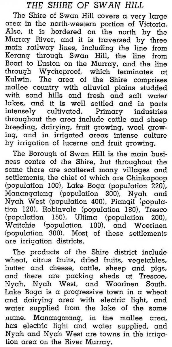
In 1946, when irrigation works in the district were substantially complete, except for Robinvale, Swan Hill shire was described in the Australian blue book:
The shire’s population rose from 8838 persons in 1947 to peak of 13,000 in 1966. During the next 25 years it declined to 11,433. The population of Swan Hill township (a separate municipality) increased by over 3000 during the same period. Overall, the region’s population grew, but with a shift from rural to urban settlement.
In 1994 farming occupied 80% of Swan Hill shire, carrying 239,000 sheep and lambs, 18,500 meat cattle and 12,000 dairy cattle. Irrigated orchards comprised mainly citrus, stone fruits and grapes. Grape plantings comprised about two thirds of the total area under fruit horticulture, and amounted to 67,000 tonnes in 1994. In addition, 196,400 tonnes of barley, 156,000 tonnes of wheat and 6000 tonnes of potatoes were grown in 1994.
Rural city
On 20 January 1995, Swan Hill shire was united with Swan Hill city, and part of Kerang shire to form Swan Hill Rural City.
The Swan Hill Rural City Economic Development Strategy 2011-16 was adopted to guide the region's economic development into the future.
The rural city’s census populations have been:
| census date | population |
|---|---|
| 1996 | 20,392 |
| 2001 | 20,637 |
| 2006 | 20,633 |
| 2011 | 20,449 |
At the 2011 census, fruit and nut growing accounted for 9.5% of employment and other farming accounted for a further 5.4%.
Swan Hill shire’s census populations were:
| census date | population |
|---|---|
| 1881 | 9116* |
| 1911 | 6795 |
| 1921 | 17,121 |
| 1933 | 11,553 |
*including Mildura, Kerang and Gordon shires. The last three dates included Swan Hill township.
After severance of the township from the shire in 1939, the shire’s census populations were:
| census date | population |
|---|---|
| 1947 | 8838 |
| 1954 | 11,147 |
| 1966 | 13,000 |
| 1976 | 12,029 |
| 1986 | 12,062 |
| 1991 | 11,433 |
Further Reading
Lesley Scholes, A history of the Shire of Swan Hill: public land, private profit and settlement, Shire of Swan Hill, 1989
Annuello, Beverford, Castle Donnington, Chinkapook, Kooloonong, Lake Boga, Manangatang, Nyah, Pental Island, Piangil, Robinvale, Swan Hill, Tresco, Tyntynder, Ultima, Vinifera, Waitchie and Woorinen entries