
Maindample
Maindample is a village and rural district on the Maroondah Highway where it passes to the north of Lake Eildon. It is about 120 km north-east of Melbourne. Maindample is set in lightly timbered, undulating country. To its south-east there is hillier country containing The Paps scenic reserve, consisting of two conical hills. These hills apparently also inspired an Aboriginal name roughly translated as Maindample and thought to mean woman's breasts.
Maindample was a pastoral run of 10,090 ha on Fords Creek, adjoining Mansfield to the east. The run had a life of 20 years until cancelled in 1866. In the following year goldfields were opened at Maindample, in effect an extension of the prospecting which had uncovered gold at Alexandra, 30 km to the south-west the year before. In 1868 a school was opened. When mining was at its peak Maindample had a population of nearly 1000.
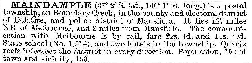
The Australian handbook 1903 described Maindample:
The school closed in 1948 and a hall (1916) was pulled down in 1981. Maindample is situated between the tourist venues of Bonnie Doon (on Lake Eildon) and Mansfield (the gateway to the Mount Buller snowfields). It is on the former Tallarook-Mansfield railway (1891-1978), now a rail trail. A quarterly newsletter is published by the Maindample and District Progress Association. The village has a general store and a public hall, set in a generally pastoral countryside. The Bridge Inn hotel was burnt down in 2010.
The census populations have been:
| Census date | Population |
|---|---|
| 1861 | 41 |
| 1901 | 285 |
| 1933 | 106 |
| 1961 | 64 |
Further Reading
Sheila Hutchinson, Maindample district: the early days ... beginning in the 1860s, Maindample, 2008